 Cuban
Cuban
Missile Crisis: Операция Анадырь (Operation Anadyr)
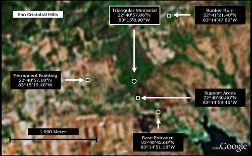
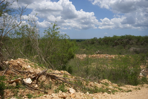
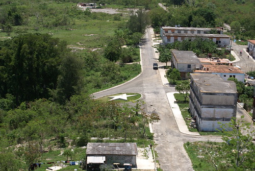
San Cristobal sitio de lanzamiento para misiles.
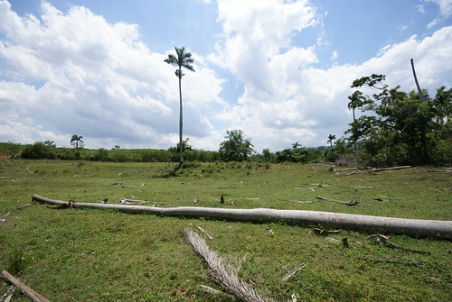
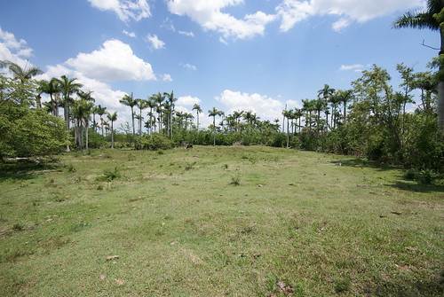
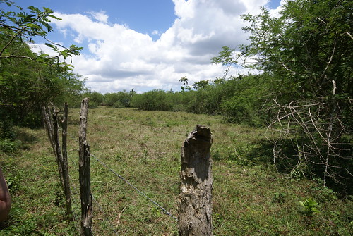
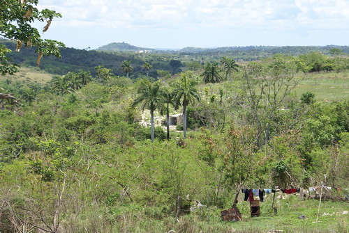
Lugar exacto donde fue tomada la foto por la CIA en el 1962
Lugar exacto donde fue tomada la foto por la CIA en el 1962
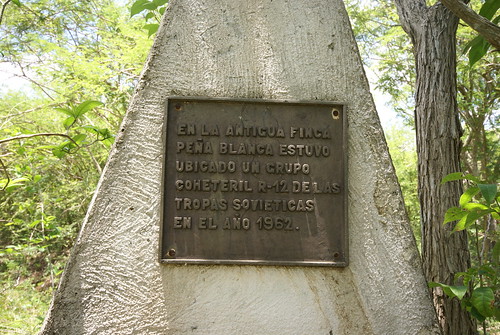
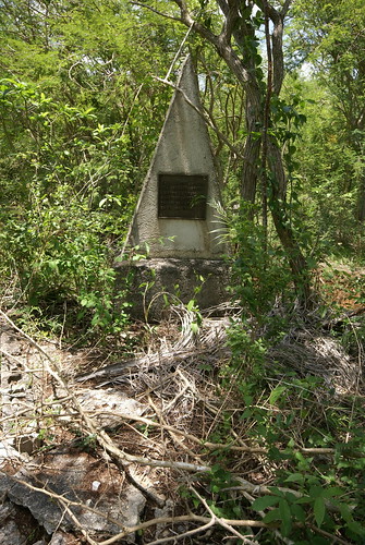
Texto: “EN LA ANTIGUA FINCA PEÑA BLANCA ESTUVO UBICADO UN GRUPO COHETERIL R-12 DE LAS TROPAS SOVIETICAS EN EL AÑO 1962.”
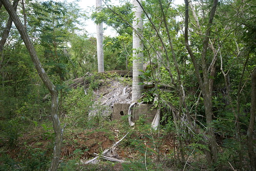
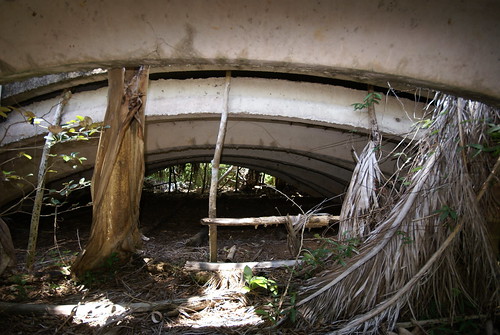
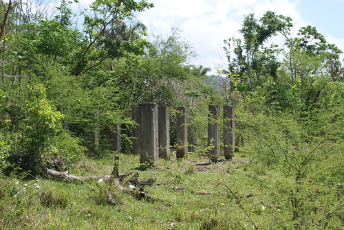
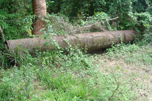
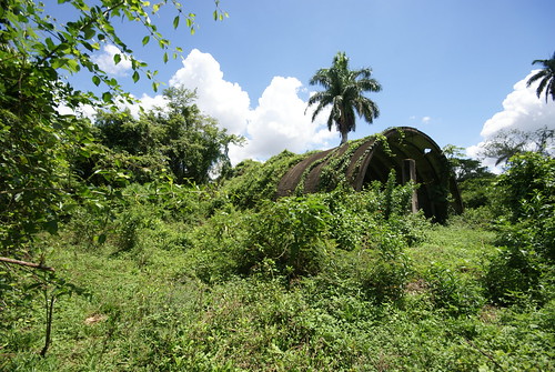
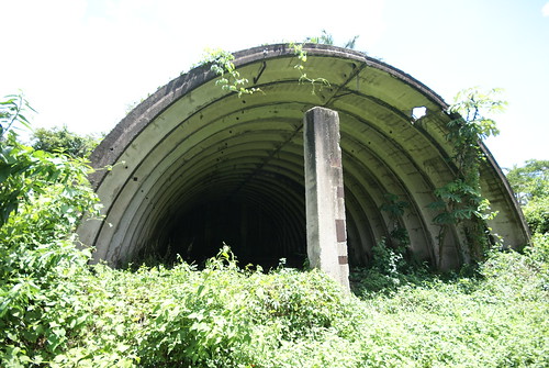
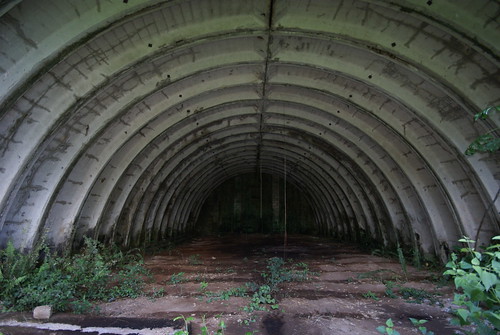
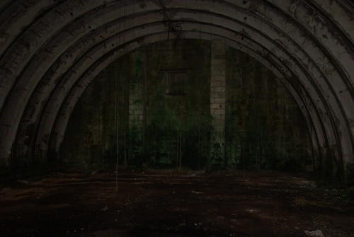
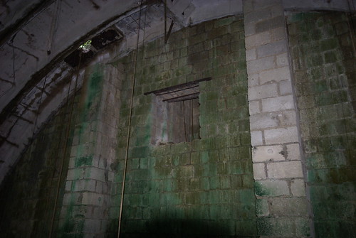
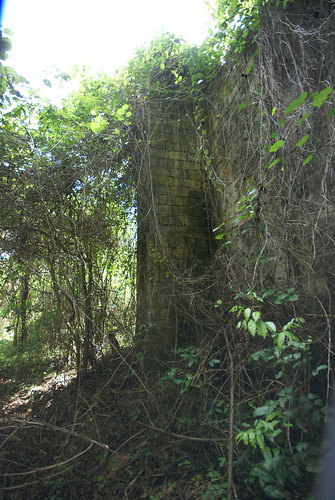
Hangar para misiles
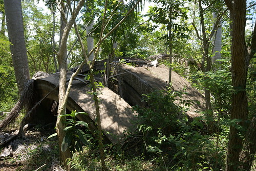
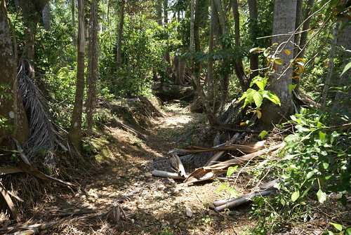
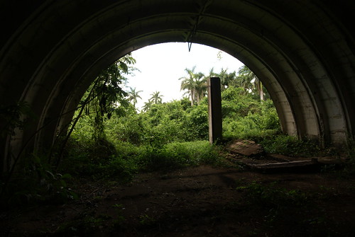
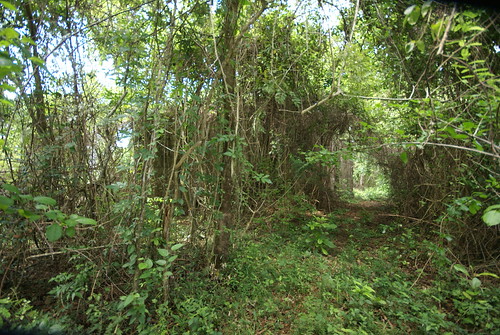
Trinchera
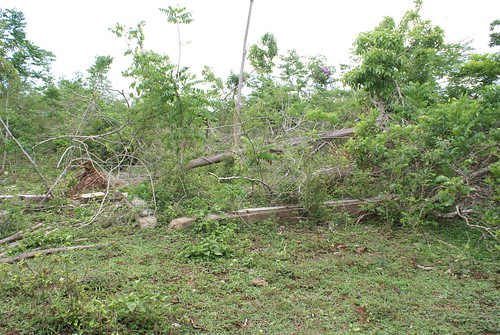
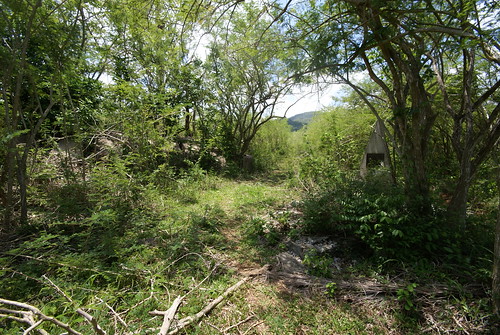
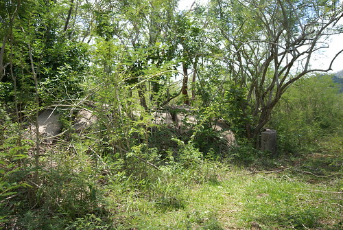
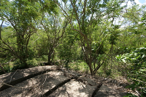
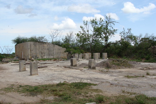
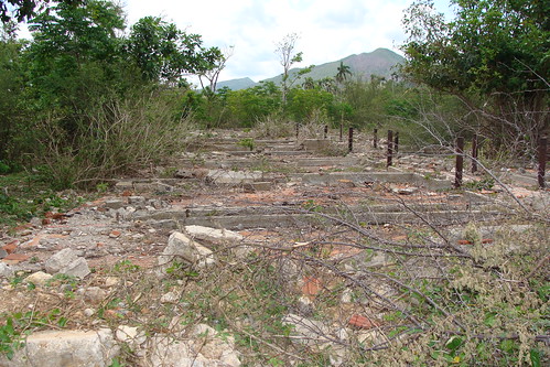
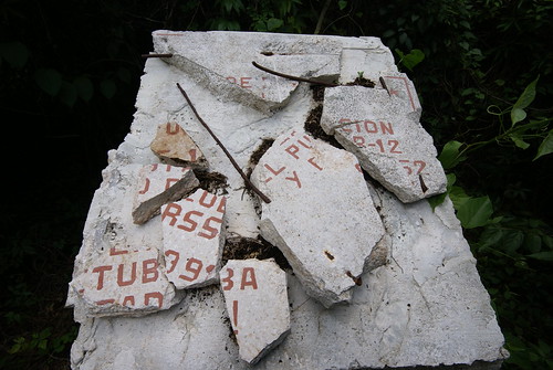
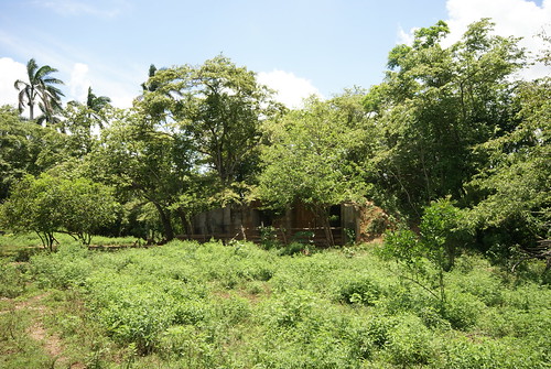
Restos de una de las edificaciones
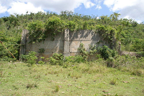
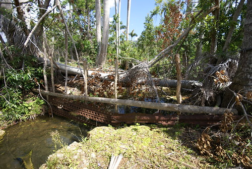
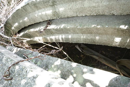
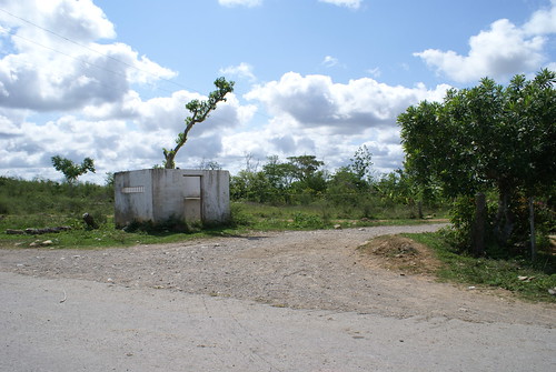
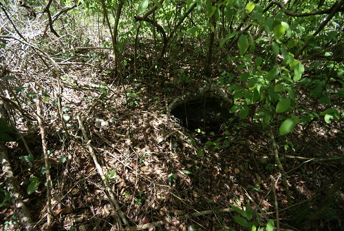
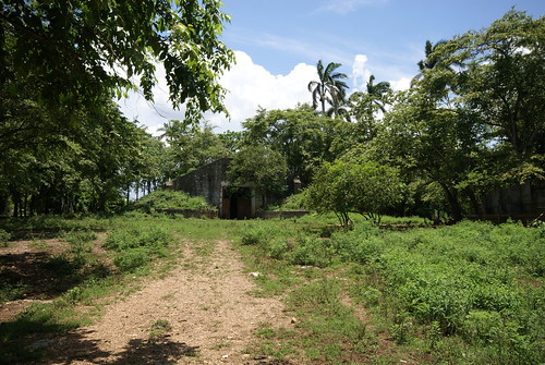
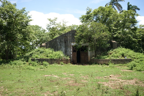
Ruinas de un bunker en San Cristobal

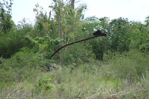
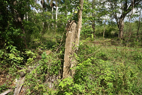
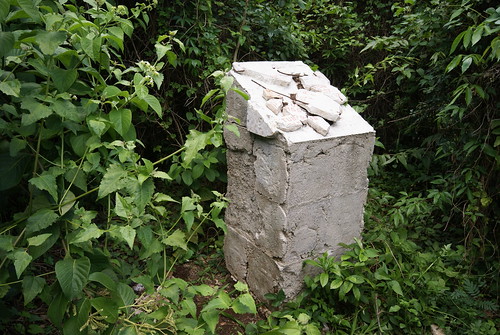
Viejo poste de luz utilizado para la instalacion militar
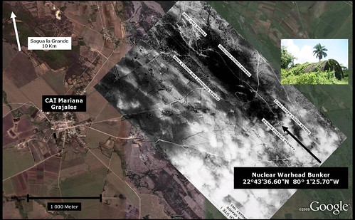
Imagen overlay que le entregue a la persona que tomo las fotografias.
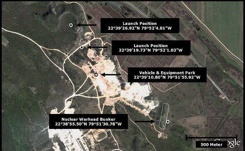
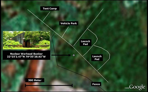
Sagua La Grande I is located approximately 10 Km SouthEast of Sagua La Grande and approximately 9 Km NorthEast of Cifuentes. There is easy access through CAI Mariana Grajales (CAI means an Agricultural-Industrial Center, this one is discontinued). The exact location of the Nuclear Warhead Bunker is provided – it is about 180 Meter from the CIA indication!
Thanks to Llamado32 for the great GoogleEarth overlay!
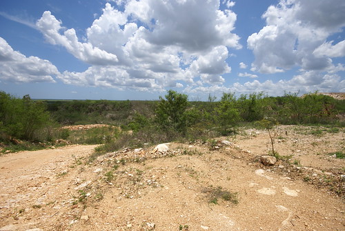
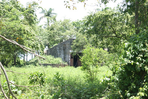
180 metros donde fue tomada la fotografia de la CIA.

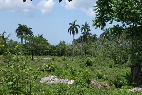
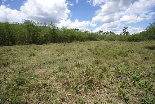
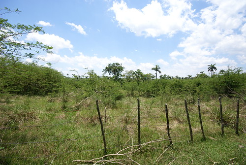
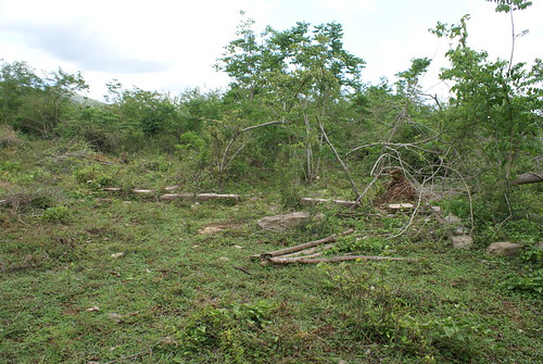
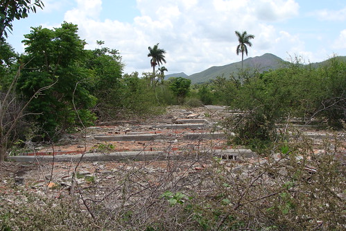
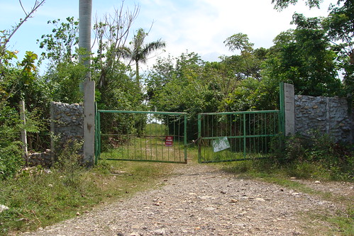
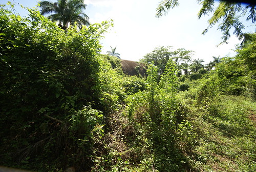
Area de lanzamiento

Cuartel general del regimiento 51 sovietico.
Cambio y Fuera...


